
LoriԼոռի
Medieval monasteries on the rims of the Debed canyon, a fortress between two gorges, forest on the plateau above — northern Armenia, mapped place by place.
The edge of this page is Lori itself: an 85 km line across the province, drawn from terrain data. It runs from Spitak through Vanadzor, over the Bazum ridge to Stepanavan and Lori Berd, then across the Debed canyon to Haghpat and Akhtala. Move along it to read the altitude.
Lori is Armenia's green north: a basalt canyon with a monastery on every shelf, high meadows around Stepanavan, and the road between Yerevan and Tbilisi running through the middle of it.
This guide maps 260 sights, 268 natural places, 149 places to stay, 144 to eat and 131 towns and villages — each with its altitude, its height above the river and the drive from the nearest town.
Places worth the drive
All collections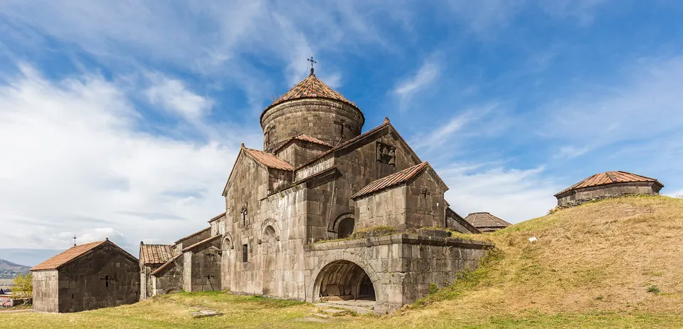
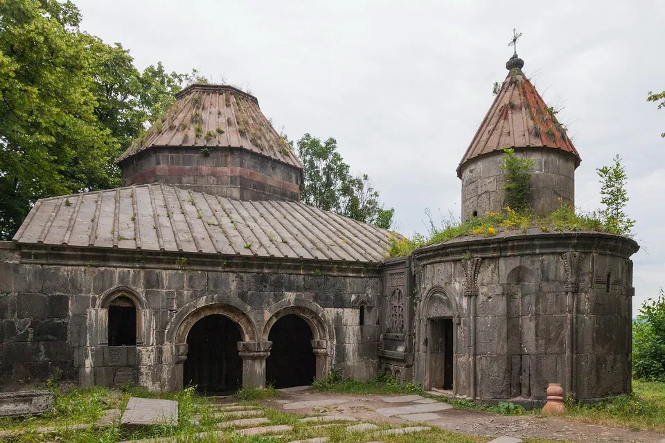
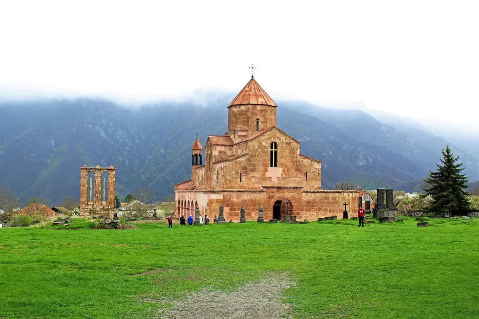
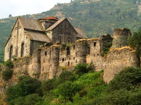
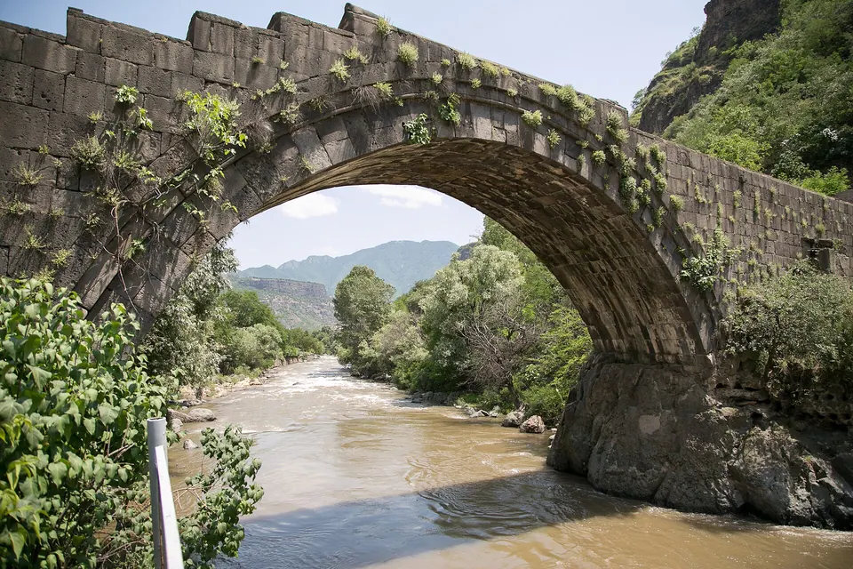
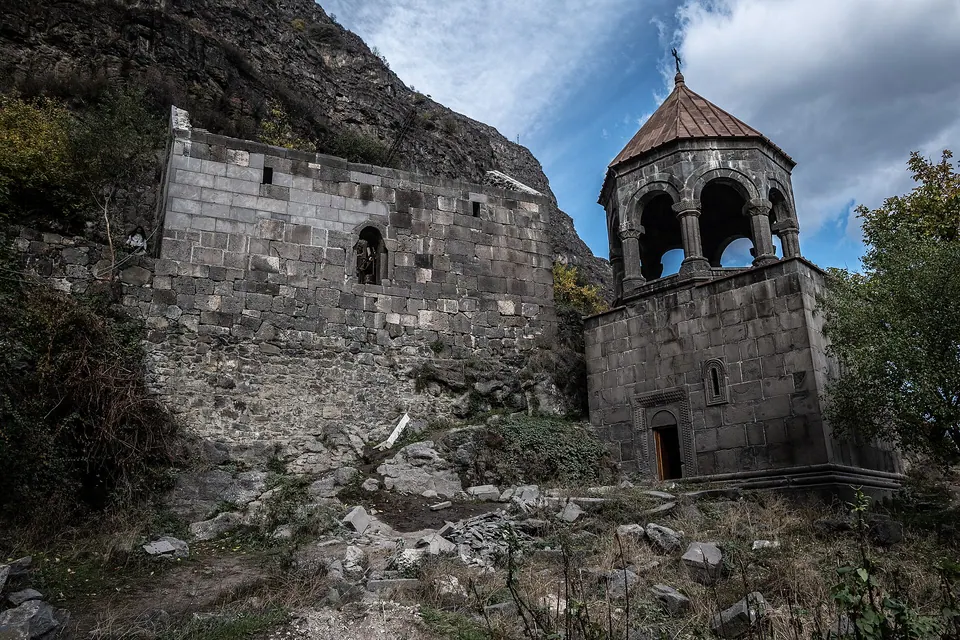
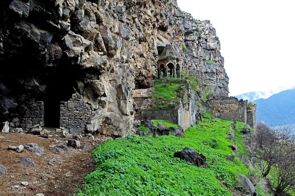
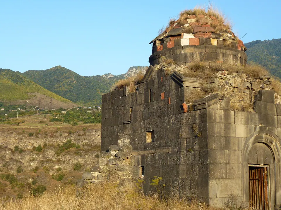
Four parts of Lori
Debed Canyon
Դեբեդի կիրճ
A deep basalt gorge with a medieval monastery on almost every shelf.
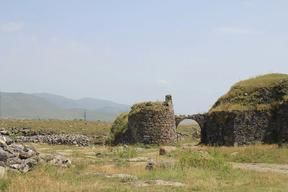
Stepanavan & the Lori plateau
Լոռվա սարահարթ
Open grassland at 1,400 m, split by two sudden river gorges.
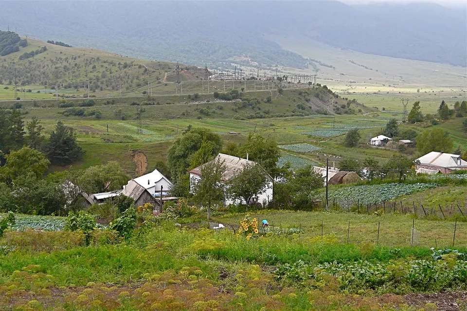
Vanadzor & the Pambak valley
Վանաձոր և Փամբակ
The province capital, its forests, and the road to Dilijan.
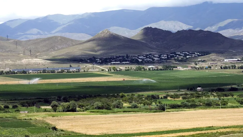
Spitak & the west
Սպիտակ և արևմուտք
Earthquake country, high pastures and the Trchkan waterfall.
Routes, already measured
All itineraries- Debed Canyon in one day The classic route: four monasteries, a medieval bridge and the canyon itself, end to end. 1 day 6 stops 71 km by road 1 h 28 min driving
- A Lori weekend from Yerevan Canyon monasteries on day one, the plateau, Lori Berd and the dendropark on day two. 2 days 10 stops 210 km by road 5 h 08 min driving
- Yerevan to Tbilisi through Lori Turn the border run into the best road trip in the Caucasus. 1–2 days 6 stops 116 km by road 2 h 14 min driving
- Three slow days in the canyon Walk between villages and monasteries instead of driving between them. 3 days 8 stops 57 km by road 1 h 22 min driving
Browse by theme
All collections
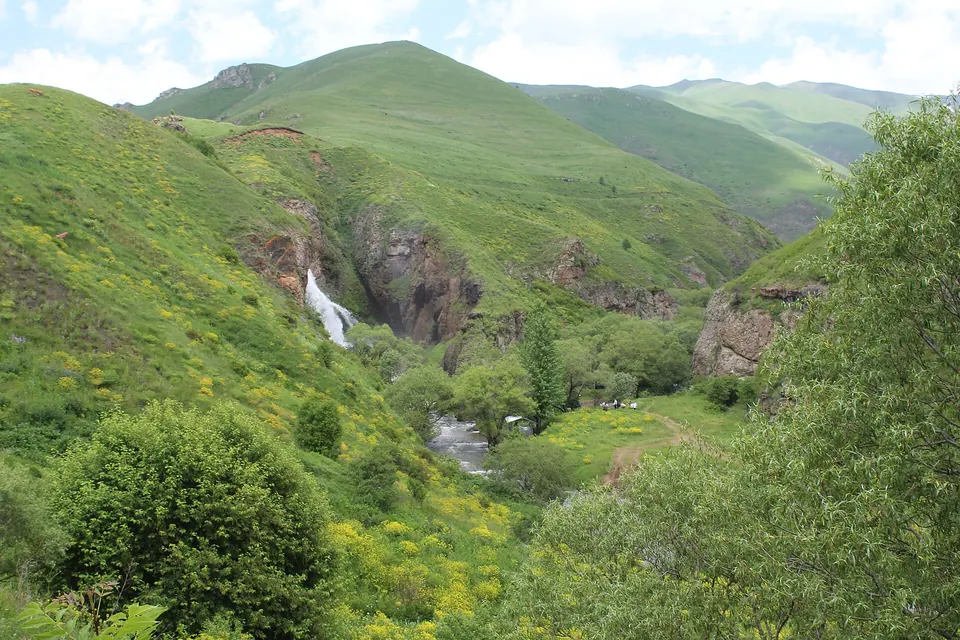
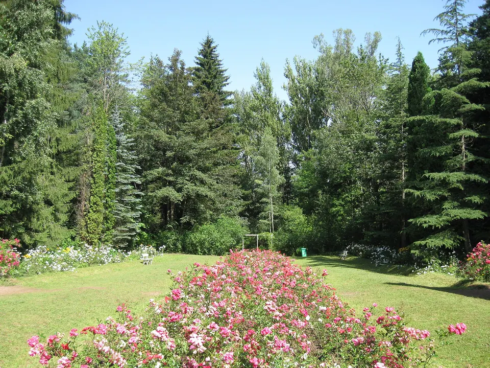
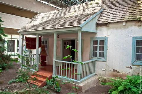
Plan it here
- Explore mapEvery place, filtered by type, area, altitude, opening hours or drive time.
- Trip plannerSave places, get road distances, days, forecasts, beds for each night and a GPX file.
- HikesDistances and climbs measured along the path, with elevation profiles.
- SeasonsTen years of temperatures for the canyon and the plateau, and the week ahead.
Where to sleep
Guesthouses in the canyon villages are the best way to see Lori: home cooking, early starts at the monasteries, and hosts who can call a driver. Vanadzor and Stepanavan have the larger hotels.
Getting here
Vanadzor, the province capital, is about two hours north of Yerevan by minibus, and the Yerevan–Tbilisi night train stops there too. The canyon road continues north to the Georgian border, so Lori fits naturally between the two capitals.
Eat like a local
Lori is dairy country: its own cheese, matsun, mountain honey, and khorovats by the river. Village guesthouses cook the best meals; in town there are 144 cafés and restaurants.